Surveying and Drones

SHN supports our “early adopter” staff, who are applying new technologies to surveying.

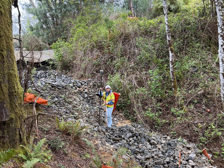
From flying drones to hiking the back-country, our surveyors provide precision geographic data and mapping.

Rapid changes in technology affect everyone in science and technology, but surveyors can convincingly argue that their field has changed the most and the fastest.  Global positioning system (GPS) technology is now in every smart phone, which is incredible considering the first use of a nascent GPS system was the Navy’s TRANSIT satellite navigation system in 1959, less than 60 years ago.  Now surveyors must be masters of survey grade GPS, robotic total stations, LIDAR, laser scanning, and drones.  And that’s just for collecting the data.  To process the data, they must be proficient with numerous software packages and applications, such as AutoCAD, and with geographic information systems (GIS) that continue to expand our notions of what a map is.

SHN is proud to support our “early adopter” staff, who are applying new technologies to surveying.  We provide surveying services under a wide range needs and conditions including subdivisions, large scale boundary surveys, topographic mapping of existing conditions, underwater bathymetry, construction surveys, land title surveys, and environmental monitoring.  From flying drones to hiking the back-country, our surveyors provide precision geographic data and mapping to fit client needs and specifications.

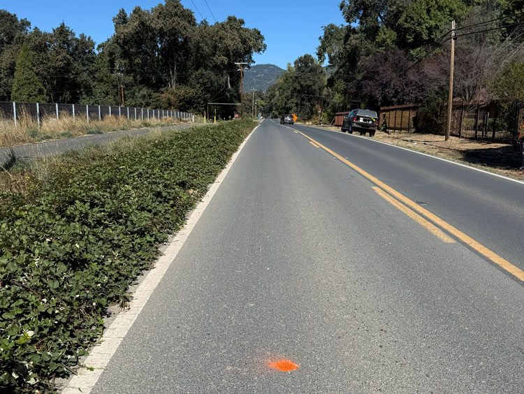
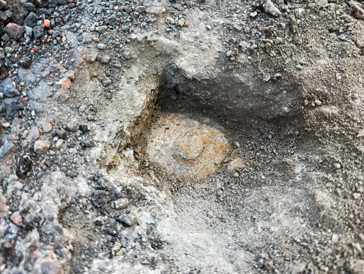
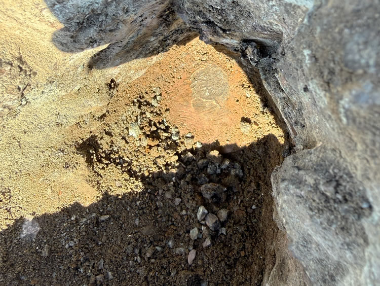
Covelo Monuments Search over 170 Parcels across 23 Sections

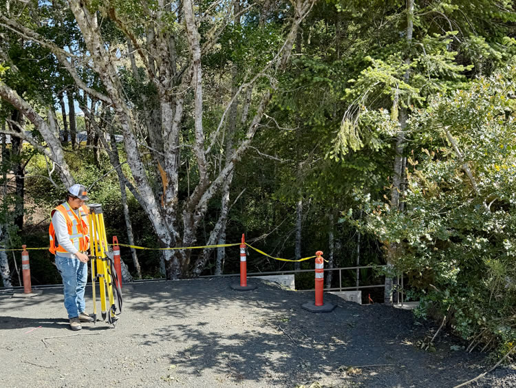
The Covelo Monuments Search Project is part of the broader Round Valley Fiber Optic initiative in Mendocino County, California, and is a collaborative effort between Sharrah Dunlap Sawyer, Inc. (SDS) and SHN. The project’s main objective was to establish a precise control network and perform base mapping for proposed easement areas that will support the installation of fiber optic infrastructure. SHN’s scope included both office and field work to set up a control network compatible with California State Plane Zone 2, NAD 83 horizontal, and NAVD 88 vertical control systems.  In summary, SHN completed monument searches across 170 parcels across 23 sections, finding 90 monuments.

Base mapping tasks involved detailed research and fieldwork to tie existing features and boundaries associated with the proposed easement parcels.  SHN and SDS were responsible for establishing record boundaries for each parcel, tying in features related to the fiber optic line, and referencing appropriate monumentation.

A quick start and fast execution was one of the main challenges of this project.  SHN surveyors began within one week of the notice to proceed, dedicating a daily crew to the sites as needed.

SHN completed monument searches across 170 parcels across 23 sections, finding 90 monuments, including those with current title reports.. This comprehensive search and recovery of monuments is critical for supporting easement mapping and ensuring the accuracy of property boundaries for the fiber optic installation.

Project Details
  • Location: Mendocino County, CA
  • Owner/Client: Sharrah Dunlap Sawyer, Inc.
  • Partners: NA
  • Project Timeline: 2025

Surveying to support much needed residential development

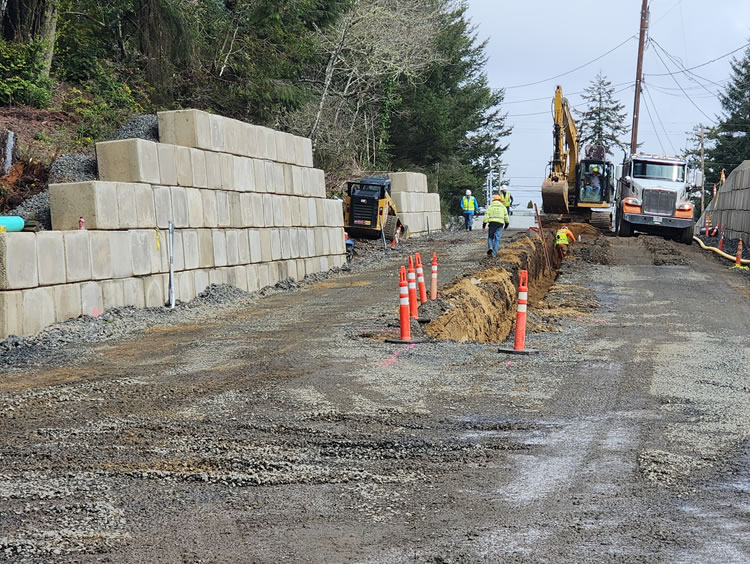
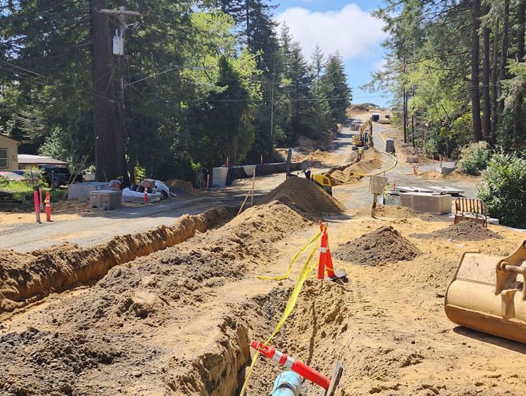
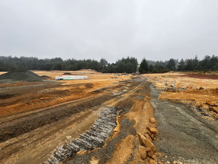
Timber Cove Estates is a residential development located within the city limits of Coos Bay, Oregon, designed to address the region’s acute housing shortage while offering a blend of privacy, natural beauty, and modern amenities. Timber Cove Estates is the largest new home community on the Oregon Coast, with plans to construct up to 400 single-family homes in three phases.

SHN was contracted to perform a number of services including laboratory testing and inspection, land surveying, construction layout, wetland mitigation, and on-call engineering support. SHN’s responsibilities started with detailed lab testing and inspection to ensure that all construction materials and site conditions meet rigorous quality standards. The surveying component involves precise mapping of the project site, boundary determination, and infrastructure layout, which is critical for both compliance and efficient construction sequencing. Construction layout services will guide the placement of roads, utilities, and home sites, ensuring that the development adheres to design specifications and regulatory requirements.

Project Details
  • Location: Coos Bay, Oregon
  • Owner/Client: Cage Development, LLC
  • Partners: Pacific Habitat Services
  • Project Timeline: 2024 and on-going

Surveying rural water storage infrastructure

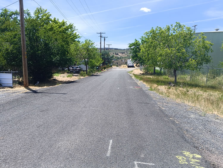
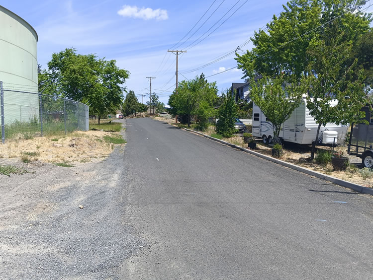
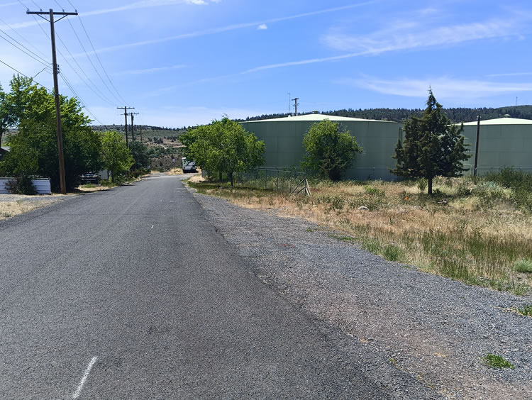
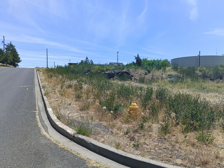
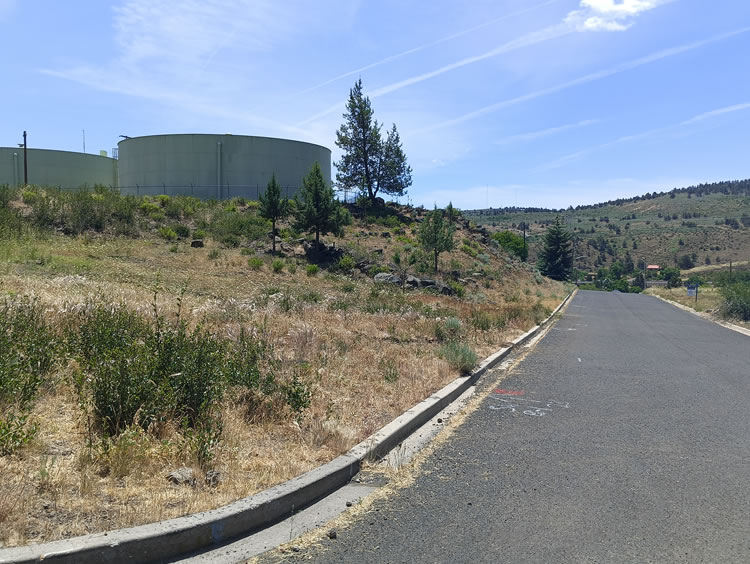
SHN was a subcontractor to CDM Smith, to survey the site of the Center Reservoir Water Storage Tanks Replacement project for the City of Klamath Falls.  SHN conducted topographic, boundary, and right-of-way surveys to facilitate the design and construction phases of new tanks. Our scope included property research, utility locates, topographic surveys of the staging and lease areas, and boundary surveys of the project site and adjacent streets. Deliverables included legal descriptions, exhibit maps for lease and easement areas, and updated topographic data provided in AutoCAD format. The work also encompassed preparing lease documents and easements necessary for construction staging and pipeline connections.

The team identified and documented surface features, underground utilities, and geotechnical boring locations. The surveying project was executed according to the schedule agreed upon with the engineer, and adhered to all applicable standards and regulations to ensure accuracy and compliance throughout the project.

Project Details
  • Location: Klamath Falls, Oregon
  • Owner/Client: City of Klamath Falls
  • Partners: CDM Smith
  • Project Timeline: 2024

We specialize in civil, environmental, and geotechnical engineering; geosciences; planning and permitting; surveying and drones; environmental and biological sciences; and materials testing and special inspections.