- Services
- Careers
- Projects
- About Us
- SHN Overview
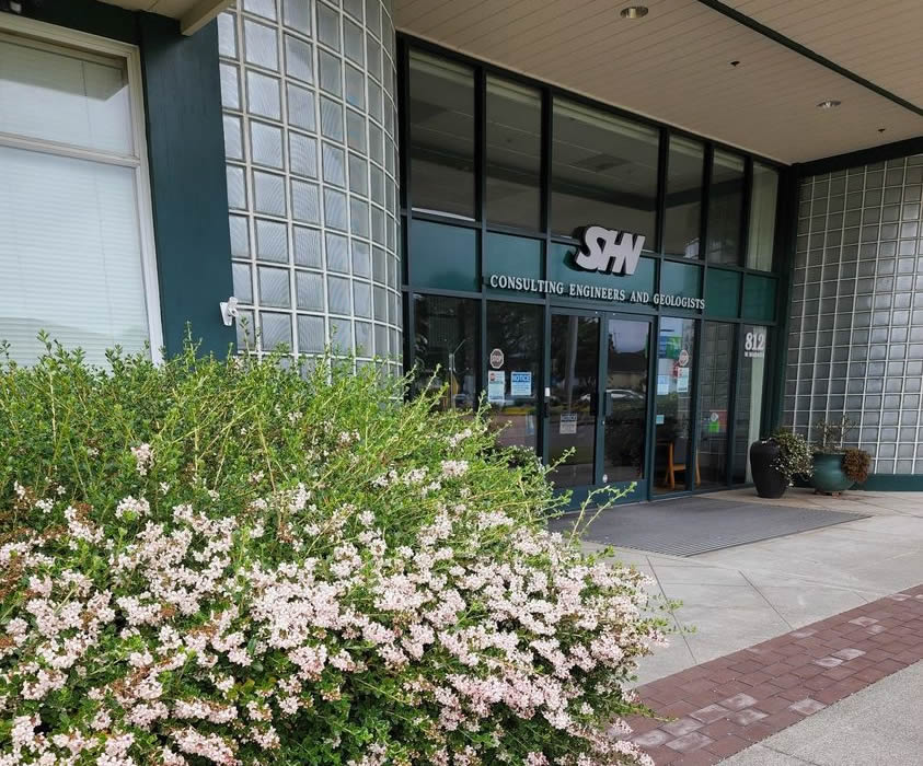
- Locations and Contacts
- Ownership
- Mission, Vision, Values
- Principals and Key Staff
- Key Staff Overview
- Mike K. Foget, PE
- Jason Island, PE
- Brenda Sigler
- Bruce R. Grove Jr.
- Christina Tipp, PG, CEG
- Erik Nielsen, PG, CHG
- Garry Rees, AICP
- Jared O’Barr, PE
- Jason Buck, PG, CEG
- Walter White, PLS, CFedS
- Darryl Anderson, PE, PLS
- Dave Gonzales
- Gretchen O’Brien
- Luc Friedenfels, PE
- Sam Heath
- Scott Perkins
- Sheri Woo, PE
- Melinda Pedersen
- Health and Safety
- News Archives
Search and more...
Searching by a Keyword or Phrase?
The keyword you are searching for will likely be found within web page text or photo captions, but it will not be highlighted as is common in pdf or web browser applications. If you cannot find what you are searching for, please contact us at info@shn-engr.com or use our individual contacts found in the Principals and Key Staff or the Locations and Contacts pages.


